Wind and clouds are the same phenomenon seen from different angles: air moving because of pressure and temperature. That is why the sky tells a kiter what the next half hour holds, and why learning five cloud types is more useful than learning any app.

Cumulus: the everyday cloud
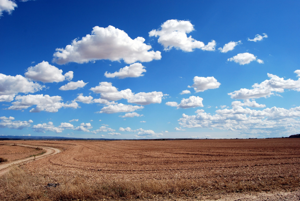
Flat-bottomed, puffy, drifting in rows. Formed by thermals — warm air rising from heated ground.
What it does to your session: creates the pulsing you feel all afternoon. Air is drawn upward into the cloud, so wind at the surface lulls just before one passes overhead and gusts just after. Nothing dangerous, but if you have wondered why your kite keeps loading and unloading in steady conditions, this is why.
Towering cumulus: watch it
A cumulus that stops drifting flat and starts climbing is being fed by strong convection. Give it ten minutes of attention. Growing and darkening means increasing wind beneath it, possible rain and a direction shift.

Cumulonimbus: leave the water
The full thunderhead, often with an anvil top. Under and ahead of it, wind can multiply and reverse within minutes, and lightning makes a carbon bar and a wet person a poor combination.
There is no version of this cloud that a kiter should ride under. It is the single most common cause of serious kite accidents in otherwise good weather.
The gust front: the dark line
A low, dark, horizontal band advancing across the horizon — the leading edge of cold air spilling out of a storm. It arrives faster than it appears to and hits as a wall of wind, often 20 knots stronger than what you launched in.
If you see one, land immediately. Not after one more run.
Stratus: flat and grey
A featureless grey layer. Usually means stable air and, for a kiter, often means weak or dying wind. Not dangerous — just frequently disappointing.
Lenticular: smooth lens shapes over hills
Stationary lens-shaped clouds sitting over or downwind of terrain. They mark strong airflow over an obstacle and, crucially, rotor turbulence downwind of it. Near mountains this is a warning that the air is broken even where the wind looks strong.
How to use this in practice
- Look upwind every few minutes. Weather comes from there, and a rider facing downwind sees a squall only when it is on top of them.
- Watch for growth, not shape. A cloud that is getting taller is telling you more than one that is merely dark.
- When the beach lands, land. Local riders are your best instrument.
Frequently asked questions
Does rain always mean strong wind?
No. Steady light rain often accompanies steady wind. It is the short heavy shower — the squall — that carries the dangerous gusts.
Why is the wind stronger right after a cloud passes?
The same circulation that lifted air ahead of the cloud brings it back down behind, adding to the surface flow.
Can I trust a forecast app instead?
For planning the day, yes. For the next thirty minutes, no — models smooth out exactly the short violent events that matter most.
Is lightning really a risk on the water?
Yes. You are the tallest object on a flat surface, holding a carbon bar, attached to lines going up into the sky. Nothing about that is worth one more run.
Live wind and the webcam for our beach are on the wind page, and weather reading is part of the theory in every course we run.
Want advice from an instructor?
Our IKO instructors will help you choose gear or plan a kite trip to Mui Ne — free of charge.
Read next
Three numbers — length, width and volume — decide whether you paddle or fall. What each one means and how to m…
Inflatable SUP vs Hard Board: What to Choose and the Real DifferenceAn inflatable fits in a boot; a hard board goes faster. Eight differences you feel on the water, and when payi…
Starboard Brand Review: SUP, Windsurfing and Foils — 200 ProductsStarboard came out of windsurfing and became the leading name in SUP. The range: inflatable and hard boards, p…