Every kiter checks an app before driving to the beach. Then they stand on the sand and the app becomes irrelevant, because a forecast describes an area over hours and what hurts you is one cloud over one bay in ten minutes.
Learning to read the sky is not folklore. It is the difference between landing your kite calmly and being the last person out there when a front hits.
The clouds that matter
Cumulus — the fair-weather kind
Puffy, white, flat-bottomed, drifting in a line. These are the ordinary daytime clouds of a good session. They do affect you: wind tends to lull just before one arrives and gust just after it passes, because the cloud carries its own circulation. Nothing to fear, but it explains why the power keeps changing.
Towering cumulus — the warning
When a cumulus starts growing vertically rather than drifting flat, something is feeding it. Watch it for ten minutes. If it keeps climbing and the base darkens, wind under it will increase, and it may bring rain and a shift.
Cumulonimbus — get off the water
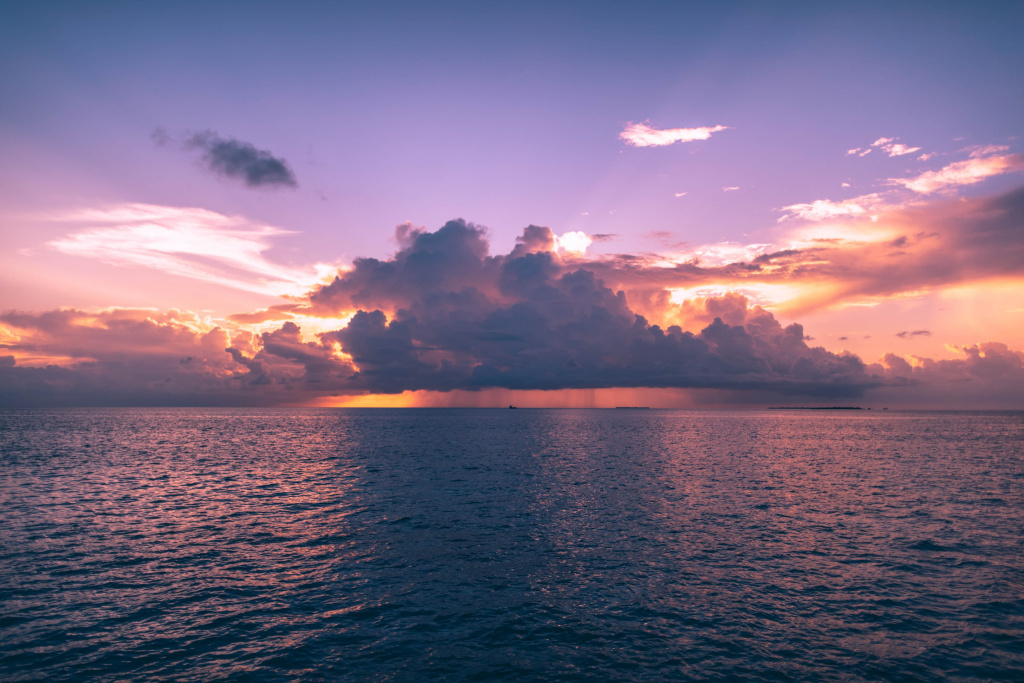
The anvil-topped thunderhead. Under it and ahead of it, wind can double or triple in minutes and change direction completely. This is the cloud that overpowers kites and puts people in hospital. There is no clever way to ride it. Land, deflate, wait.
A dark line on the horizon
A low, dark band stretching across the horizon and approaching is a gust front — the leading edge of cold air. It arrives faster than it looks and hits like a wall. If you see one, the correct number of extra minutes on the water is zero.
Lenticular clouds
Smooth, lens-shaped, stationary over hills. They mean strong airflow over terrain and turbulence downwind of it. Common near mountains, and a reason mountain spots ride roughly.
The rule that actually keeps you safe
When the beach starts landing kites, land yours. Local riders read local weather better than any visitor, and the collective decision to come in is usually right. Being the last one on the water is not a badge.
The second rule: look upwind every few minutes. Weather arrives from there, and a kiter facing downwind sees a squall only when it is already on top of them.
What the sky does not tell you
Clouds show you the next thirty minutes, not the day. You still need the forecast for planning, tide tables where they matter, and local knowledge for everything that a model cannot see — thermal effects, land heating, and the way a particular bay funnels wind.
Frequently asked questions
Can I ride if it is just raining?
Rain by itself is not the problem — the cloud that brings it can be. Light steady rain often comes with steady wind. A short heavy shower usually means a squall, and squalls are the danger.
Why does the wind die just before a cloud arrives?
Air is being drawn up into the cloud, which reduces the flow at the surface ahead of it. The gust that follows is the same circulation coming back down.
How far away is a thunderstorm still dangerous?
Gust fronts can run tens of kilometres ahead of the storm itself. If you can see a thunderhead, treat it as close enough to change your plans.
Do apps show squalls?
Poorly. Forecast models average over a grid and a time step, so they smooth out exactly the short violent events that matter to a kiter. Use the app for the day and your eyes for the hour.
Wind, webcam and current conditions for our beach are on the live wind page. Learning to read conditions is part of every course we run — see kitesurfing lessons in Mui Ne.
Want advice from an instructor?
Our IKO instructors will help you choose gear or plan a kite trip to Mui Ne — free of charge.
Read next
Starboard came out of windsurfing and became the leading name in SUP. The range: inflatable and hard boards, p…
Inflatable SUP vs Hard Board: What to Choose and the Real DifferenceAn inflatable fits in a boot; a hard board goes faster. Eight differences you feel on the water, and when payi…
How to Read a SUP Board Size: 10'8" x 33", Litres and What MattersThree numbers — length, width and volume — decide whether you paddle or fall. What each one means and how to m…